")
...and welcome to my website/portfolio. Use the navigation at the top of the page for links to the four main sections of this site. Outdoors for hiking trip reports and gear reviews, Photography for some sample photographs and links to my Flickr portfolio, Music for links to my electronic music, and Code for some coding experiments.


It's a personal site, and subject to change. There's more information on my thought process via the About page.
I'm happy to discuss small scale web-projects, where there is a clearly defined end-point. You can get in touch via my Contact page.
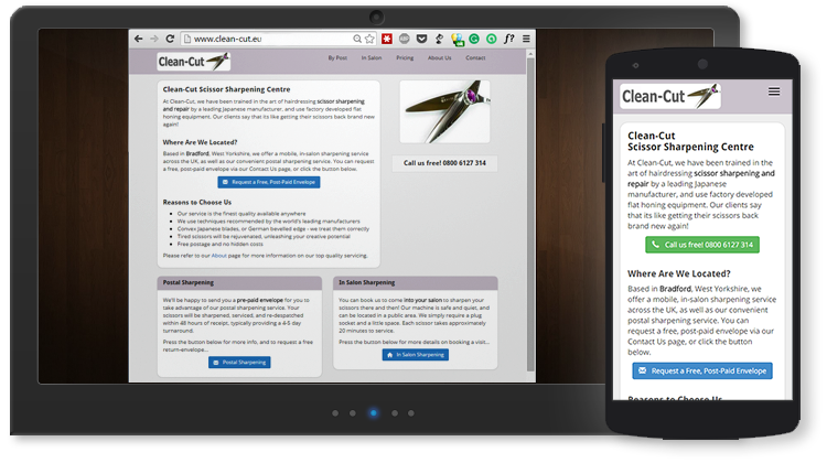
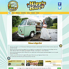
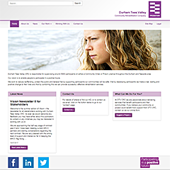
My philosophy is to keep things clean, easy, and fast. Be clear why your customers are going to your site, and make it as easy as possible for them to achieve that goal. Do they want to check your prices and make a booking? Perhaps they should be able to do that from your homepage in a single mouse-click? Less confident visitors will appreciate the painless interaction, expert visitors welcome the clarity and absence of unnecessary bloat.
Drop me a line if you think there may be a good fit to your plans.
I compose laid-back electronic music. For a flavour of my work, check out Everblue, chilled ambient house. Have a listen - feedback more than welcome!
If you like that, have a listen to Lone Rider, which samples a brief guitar solo from a Burt Bacharach song, and also pays homage to one of my all-time favourite films; The Third Man. If you're curious about the guitar sample, it's chopped up and re-sequenced from the intro, see this video at zero seconds.
15 Feb 2020
Disqus currently not enabled on this page...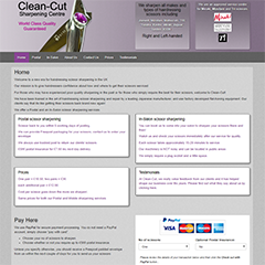
 Twitter
 Facebook
 Google+
 LinkedIn
 Soundcloud
 Flickr